
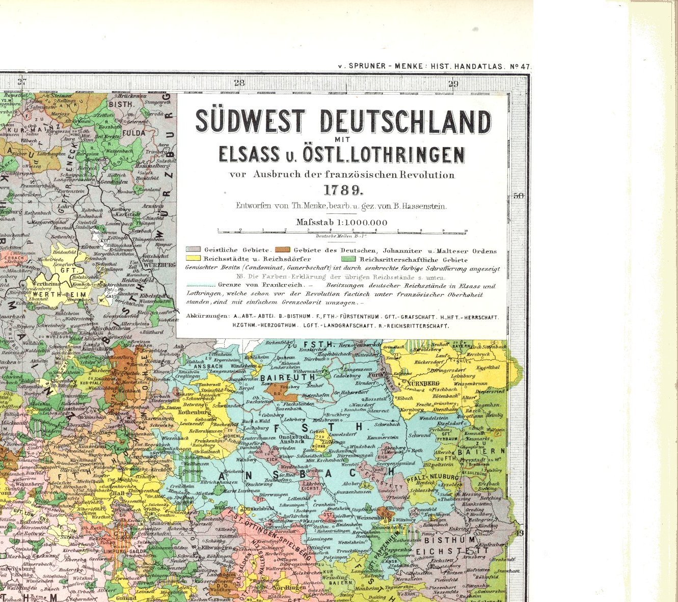
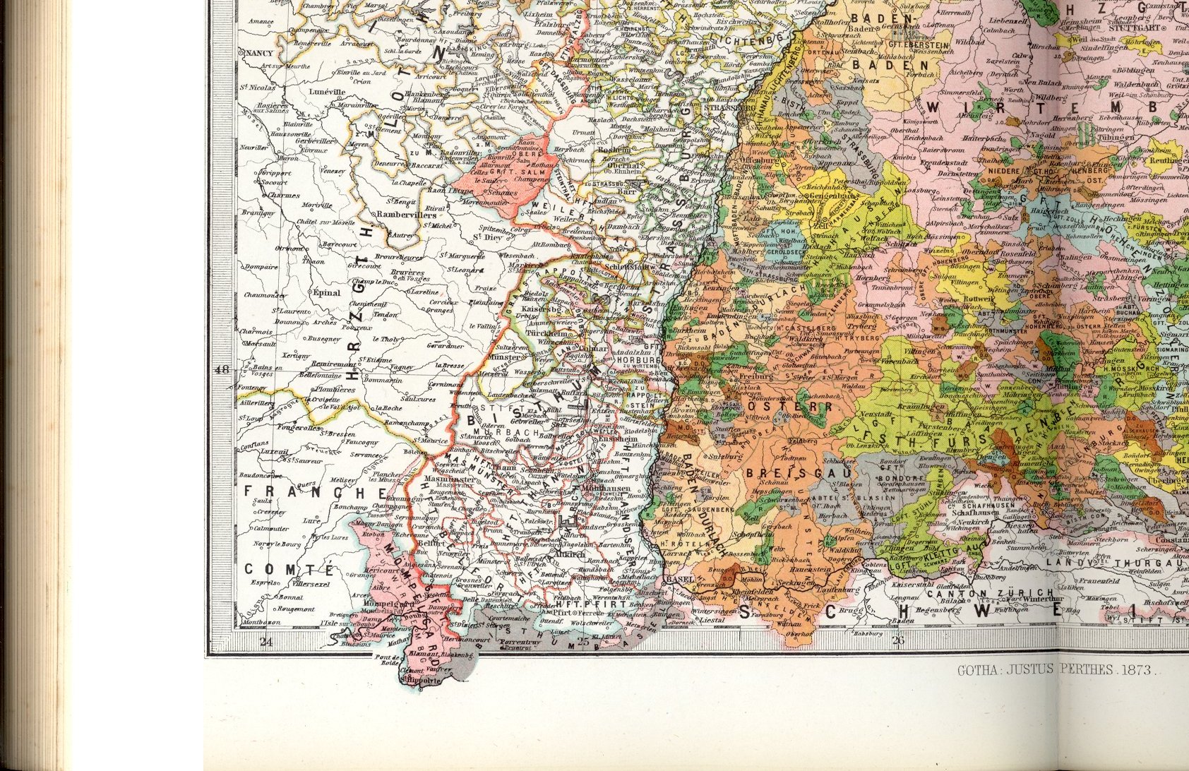
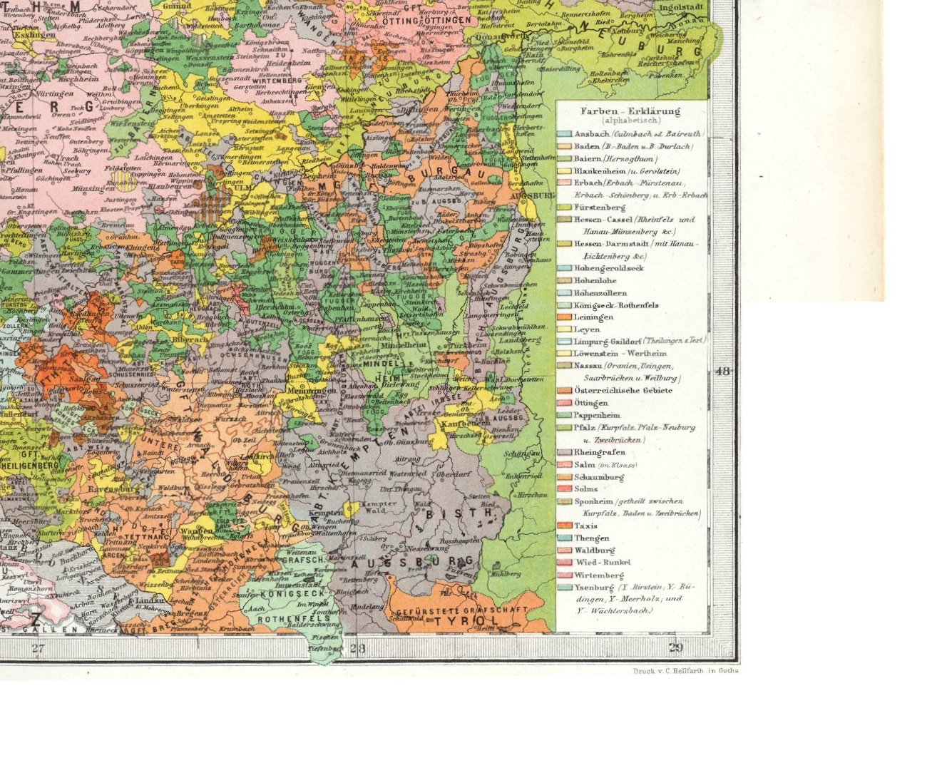
being plate 47 of
Gotha: Julius Perthes
1880
(though this plate was made in 1873)
shown below in four increasing sizes
| |
| |
| |
| |
| |
| |
| |
| |
As you have probably noticed, I scanned the plate in in four sections, trimmed them so as to leave some overlap, and juxtaposed them. The edges are never quite right, so I have left a clear overlap than risk leaving anything out.
If you know of a better method of constructing an image bigger than the scanner, please let me know. I will be grateful.