More maps.
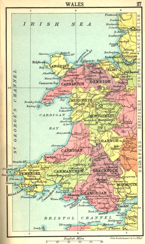
This map is taken from The Handy Shilling Atlas of the World, 1910. At that date, Monmouthshire was English not Welsh, although some laws, such as that governing Sunday opening of licensed premises, were effective in "Wales and Monmouthshire". It is shown below in three increasing sizes.
|
|
Other British county maps. More maps. |